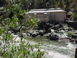
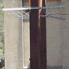
Well, I went to the old Duck Reach power station on Saturday, 12th January
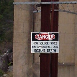
2007, just to have a look around - and guess what? That
"INSTANT DEATH"
sign had disappeared!
So I came back the following day (Sunday 13th) with my camera and took a few
pictures, including the one you see on the right, above.
Of course, that sign shouldn't really have been there anyway, by rights. The
last time electric power - of any voltage - flowed out of the plant
was in 1956! Now, there's only a (presumably) 240 volt supply into
the building, just to run the lights. (Still dangerous, of course, just like
any mains supply - but, surely, no more so than any other.) However, it
seems a bit pointless just to take the sign down for the sake of it...
Is it possible that someone responsible for looking after the area has seen
my website, and become sufficiently embarrassed by the anomaly to do
something about it? Or is it more likely just to be an act of vandalism?
I don't know. But I'm a bit concerned about it. Perhaps, as a new year's
resolution, I should appoint myself an unofficial guardian of the place, and
take it upon myself to run an eye over it every so often and report anything
"dodgy" that I see happening there...
While there on Sunday, I thought I might as well take a few more shots of
the area. After all, it was a hot, bright sunny day, perfect for taking
snaps. So I'll just include some of them here, as a sort of "extra" to my
main page on this subject.
For a start: a bit of irony. The (now missing) sign was attached to the
rusty old pylon you see in the pictures above. (The fact that it's rusty
implies that it's almost certainly made from iron; however, that's
not where the
irony
comes from, as you'll soon see.
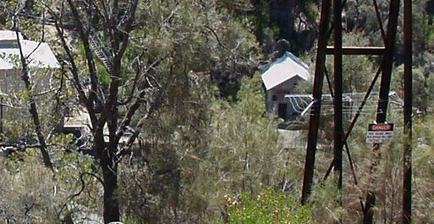
The thing is: that pylon is one of a pair. The other one is back up the
hill, just a short distance down from the Corin Street car park, and quite
easily visible from there:
The wires which now conduct power down to the power station are
strung between those two pylons, just as high-tension cables used to conduct
power up from there until the mid-1950's.
Now: what do we see attached to the upper pylon?
That's right - a duplicate of the missing sign from down below! How about
that?
I dunno - hopefully the fact that I've now drawn attention to this one won't
lead to its disappearance in the near future. To whom it may concern: just
leave it alone, okay? - and also: how about giving some serious thought to
replacing the other one, if you've still got it?!!
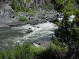
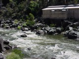
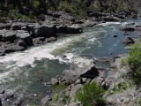
One thing that was very noticeable at the weekend was that there was a lot
more water in the river than usual. If you've looked over my "Power to the
people" page (the link just quoted, above), you may have seen toward the end
of that page some pictures of the river as it is most of the time: pretty,
but with not much more than a trickle flowing between its banks.
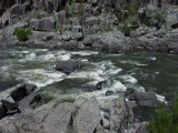
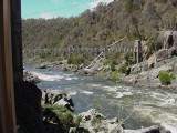
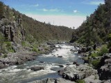
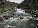
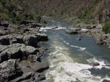
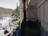
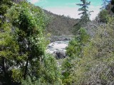
Here are a few shots of the river as it was a couple of days ago (click on
them to see 640×480 versions):
That's quite a transformation from how it usually is. You could be forgiven
for thinking that there's been quite a bit of rain in and around Launceston
in the last few days; sadly, however, that's not the case - the whole of
Australia is currently experiencing its worst drought on record. So where
did all that extra water come from?
There was a time in Launceston's history when the South Esk did flow
a lot faster, on average, than it does now. However, since 1955, when the
more modern, much higher capacity Trevallyn power station commenced
operations, the river's flow has been reduced by the Trevallyn Dam which
diverts the water required to provide the city's power supply.
Occasionally, however, Launceston hosts river-based sporting events. Over
this weekend, we've had the
TEVA Cataract Extreme Race
kayaking championships here; and the Hydro-Electric Commission has released
400 megalitres of water from Lake Trevallyn for the occasion.
That's quite a volume. Think of it this way:
One cubic metre is 1,000 litres. So a megalitre - 1,000,000 litres - is
1,000 cubic metres. Hence 400 megalitres = 400,000 cubic metres.
An Olympic swimming-pool is 50m long and 25m wide. If we assume an average
depth of 2m, that's a volume of 2,500 cubic metres. If we divide 400,000 by
2,500 we get 160. So I gather that that's about the number of
swimming-pools-full of extra water which has flowed through Duck Reach over
this past weekend.
(Another way to think of it is as 0.4 of a gigalitre - and that's nothing to
giggle about.
Over the years, Launcestonians have frequently bemoaned the fact that
there's "not enough water in the Gorge". The fact is that as long as we want
to maintain a modern lifestyle, and as long as our electricity is produced
by the present hydoelectric scheme, that's not going to change!
Could it change, though?
I believe it could. One of this website's main themes is that it's high time
we started investigating very seriously the possibility of developing small
but effective power schemes based on
zero-point energy,
for all sorts of reasons - with environmental concerns high on the list.
If that ever happens, so that we can turn the present Trevallyn power
station into a museum also - and, once again, allow a lovely big permanent
flow of water past Duck Reach, on to the Second Basin, downstream through
the
Cataract Gorge
to the First Basin, and ultimately under the King's Bridge to the South
Esk's natural confluence with the Tamar River - Launcestonians won't be just
giggling, they'll be cheering!
While I was at Duck Reach on Sunday with my camera, I took a few more snaps.
It was such a bright, sunny day that I was able to take some good ones
inside the old power station just relying on natural light coming in through
the west door (I was there in the afternoon). This meant that I could get
some really good pictures of the one remaining machine set (the photos I
took earlier, in August 2006, are on my
"Power to the people"
page.)
(Again, you can click on these to see 640×480 versions.)
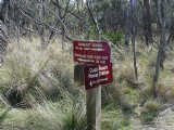
"Sign, sign, everywhere a sign..."
Well, they have their place. The signs around Duck Reach are pretty
informative; I've got no complaints (except when they start going missing!).
To finish this page:
Having developed an affection for this area in August 2006, while doing
research for my website, I brought my wife and son here one day in
mid-September. As part of the afternoon's activities, we tackled the
Penstock Ladder (the track up behind the power station), and climbed up
higher than I'd dared to when I was here on my own about a month earlier.
Here's the evidence (more signs!
(Click on these to see 640×480 versions.)
My home page
Preliminaries (Copyright, Safety)
Er... where'd it go...?
Before After

 )
)



 )
)

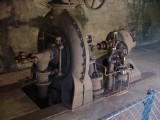
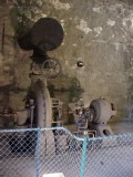
Probably one of the best shots I've so
far been able to get of this old gadget...
... and again, with the camera held sideways
to fit the inlet pipe into the picture. You
can just see the top of the explanatory sign
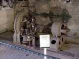
- which appears again here in this shot.
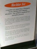
If you've come here from my
"Power to the people"
page,
you've probably read the sign before. This time, take note
of the second paragraph, about the turbine "as pictured".
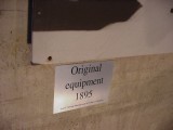
If we look left, toward the west wall, we can see that
there is a large picture there, with its own sign...
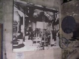
... and here is the picture itself, showing
how the three original turbines were
placed parallel to the back (north) wall.

Heading back toward the eastern end of the building, I
noticed that there was even enough light to get some good
shots there. Here's some cryptic graffiti and another sign...
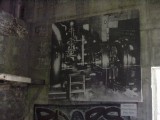
... on the east wall - just next to the main entrance -
with another big picture, this one showing how the
inerior of the plant looked after it had been rebuilt,
after the 1929 flood, clearly with increased capacity.

 )
)

 Return to "Power to the people" page


